Our Town Almanac
Fayetteville, Tennessee The Fayetteville Almanacpart of Our Town Almanac · directory, events, history & people · Lincoln County, Tennessee · ZIP 37334

West side of the square: Main Ave. S.

11 buildings. Walk north to south, from College St. to Market St., on the far side of Main Ave. from the courthouse lawn.

  1. 101
  2. 103
  3. 105
  4. 109
  5. 111
  6. 113
  7. 115
  8. 117
  9. 119
  10. 121
  11. 125

Each card gives what the old fire insurance maps show for the storefront, 1887 to 1926, with the label as printed and a link to the map sheet. Old lots are matched to today’s addresses by our reading of the maps against county property lines. How to read these cards · All sources

Fayetteville Main Street notes that two fires in 1885 burned almost the entire west side of the square. (Fayetteville Main Street, History)

West side · Main Ave. S.

101 Main Ave. S.

Corner store, a drugstore by 1926

Today

From our directory, Oct. 21, 2026. Please check with a business before you go.

On the old maps (no. 101 in 1914)

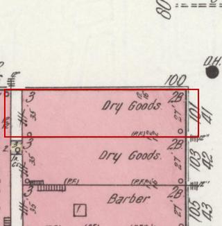
April 1914 Sanborn fire insurance map detail with the lot at today’s 101 Main Ave. S. outlined in red; the map labels it: dry goods
Then: 1914 map
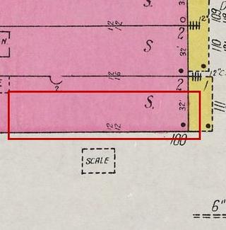
September 1926 Sanborn fire insurance map detail with the lot at today’s 101 Main Ave. S. outlined in red; the map labels it: drugstore
1926 map

Maps: Sanborn Map Co., April 1914, sheet 9, Library of Congress (public domain); Sept. 1926, sheet 5, UT Knoxville Libraries (No Copyright – United States). Cropped; red outline added by Our Town Almanac.
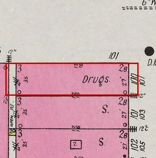
  1. 1887 Jeweler; dry goods, boots and shoes map label: Jewelry; D.G. B. & S. Library of Congress, sheet 1
  2. 1914 Dry goods map label: Dry Goods Library of Congress, sheet 9
  3. 1926 Drugstore map label: Drugs UT Knoxville Libraries, sheet 5

Local history says: A drugstore stood on the corner of this block. (Fayetteville Main Street, History; UT Knoxville Libraries, sheet 5)

West side · Main Ave. S.

103 Main Ave. S.

Dry-goods store

Today

From our directory, Oct. 21, 2026. Please check with a business before you go.

On the old maps (no. 103 in 1914)

April 1914 Sanborn fire insurance map detail with the lot at today’s 103 Main Ave. S. outlined in red; the map labels it: dry goods
Then: 1914 map
September 1926 Sanborn fire insurance map detail with the lot at today’s 103 Main Ave. S. outlined in red; the map labels it: store
1926 map

Maps: Sanborn Map Co., April 1914, sheet 9, Library of Congress (public domain); Sept. 1926, sheet 5, UT Knoxville Libraries (No Copyright – United States). Cropped; red outline added by Our Town Almanac.
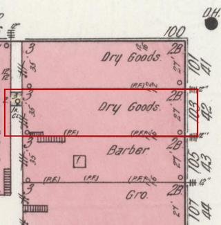
  1. 1887 Harness; hardware map label: Harness; Hardw. Library of Congress, sheet 1
  2. 1914 Dry goods map label: Dry Goods Library of Congress, sheet 9
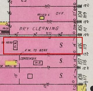
  3. 1926 Store map label: S. UT Knoxville Libraries, sheet 5

West side · Main Ave. S.

105 Main Ave. S.

Barbershop, earlier a drugstore

Today

From our directory, Oct. 21, 2026. Please check with a business before you go.

On the old maps (no. 105 in 1914)

April 1914 Sanborn fire insurance map detail with the lot at today’s 105 Main Ave. S. outlined in red; the map labels it: barber
Then: 1914 map
September 1926 Sanborn fire insurance map detail with the lot at today’s 105 Main Ave. S. outlined in red; the map labels it: store
1926 map

Maps: Sanborn Map Co., April 1914, sheet 9, Library of Congress (public domain); Sept. 1926, sheet 5, UT Knoxville Libraries (No Copyright – United States). Cropped; red outline added by Our Town Almanac.
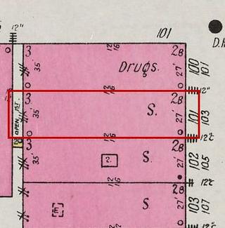
  1. 1887 Drugstore map label: Drugs Library of Congress, sheet 1
  2. 1914 Barber Library of Congress, sheet 9
  3. 1926 Store map label: S. UT Knoxville Libraries, sheet 5

West side · Main Ave. S.

109 Main Ave. S.

Grocery

Today

From our directory, Oct. 21, 2026. Please check with a business before you go.

On the old maps (no. 107 in 1914)

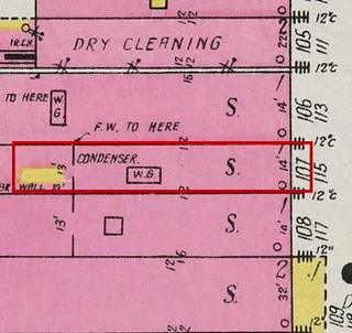
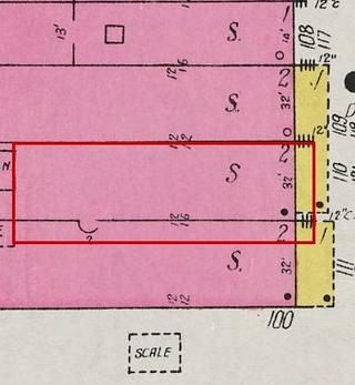
April 1914 Sanborn fire insurance map detail with the lot at today’s 109 Main Ave. S. outlined in red; the map labels it: grocery
Then: 1914 map
September 1926 Sanborn fire insurance map detail with the lot at today’s 109 Main Ave. S. outlined in red; the map labels it: store
1926 map

Maps: Sanborn Map Co., April 1914, sheet 9, Library of Congress (public domain); Sept. 1926, sheet 5, UT Knoxville Libraries (No Copyright – United States). Cropped; red outline added by Our Town Almanac.
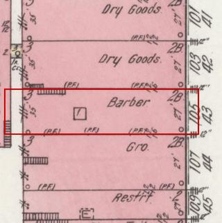
  1. 1887 Vacant map label: Vac. Library of Congress, sheet 1
  2. 1914 Grocery map label: Gro. Library of Congress, sheet 9
  3. 1926 Store map label: S. UT Knoxville Libraries, sheet 5

West side · Main Ave. S.

111 Main Ave. S.

Restaurant, later offices

Today

From our directory, Oct. 21, 2026. Please check with a business before you go.

On the old maps (no. 109 in 1914)

April 1914 Sanborn fire insurance map detail with the lot at today’s 111 Main Ave. S. outlined in red; the map labels it: restaurant
Then: 1914 map
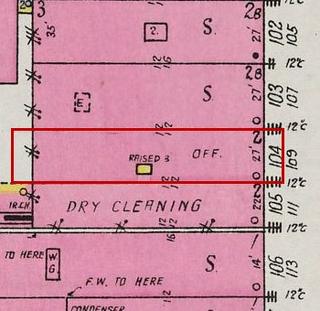
September 1926 Sanborn fire insurance map detail with the lot at today’s 111 Main Ave. S. outlined in red; the map labels it: office
1926 map

Maps: Sanborn Map Co., April 1914, sheet 9, Library of Congress (public domain); Sept. 1926, sheet 5, UT Knoxville Libraries (No Copyright – United States). Cropped; red outline added by Our Town Almanac.
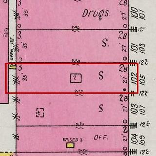
  1. 1887 Grocery map label: Gro. Library of Congress, sheet 1
  2. 1914 Restaurant Library of Congress, sheet 9
  3. 1926 Office map label: Off. UT Knoxville Libraries, sheet 5

West side · Main Ave. S.

113 Main Ave. S.

Saloon, tailor, then dry cleaner

Today

From our directory, Oct. 21, 2026. Please check with a business before you go.

On the old maps (no. 111 in 1914)

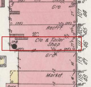
April 1914 Sanborn fire insurance map detail with the lot at today’s 113 Main Ave. S. outlined in red; the map labels it: clothing and tailor shop
Then: 1914 map
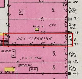
September 1926 Sanborn fire insurance map detail with the lot at today’s 113 Main Ave. S. outlined in red; the map labels it: dry cleaner
1926 map

Maps: Sanborn Map Co., April 1914, sheet 9, Library of Congress (public domain); Sept. 1926, sheet 5, UT Knoxville Libraries (No Copyright – United States). Cropped; red outline added by Our Town Almanac.
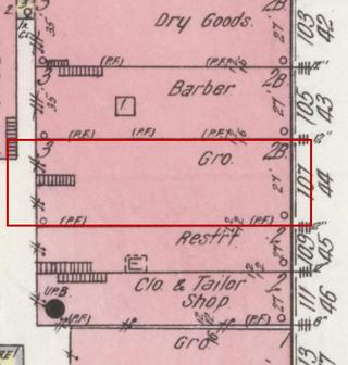
  1. 1887 Saloon map label: Sal. Library of Congress, sheet 1
  2. 1914 Clothing and tailor shop map label: Clo. & Tailor Shop Library of Congress, sheet 9
  3. 1926 Dry cleaner map label: Dry Cleaning UT Knoxville Libraries, sheet 5

West side · Main Ave. S.

115 Main Ave. S.

One-story grocery with the bakery behind

Today

From our directory, Oct. 21, 2026. Please check with a business before you go.

On the old maps (no. 113 in 1914)

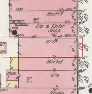
April 1914 Sanborn fire insurance map detail with the lot at today’s 115 Main Ave. S. outlined in red; the map labels it: grocery
Then: 1914 map
September 1926 Sanborn fire insurance map detail with the lot at today’s 115 Main Ave. S. outlined in red; the map labels it: store
1926 map

Maps: Sanborn Map Co., April 1914, sheet 9, Library of Congress (public domain); Sept. 1926, sheet 5, UT Knoxville Libraries (No Copyright – United States). Cropped; red outline added by Our Town Almanac.
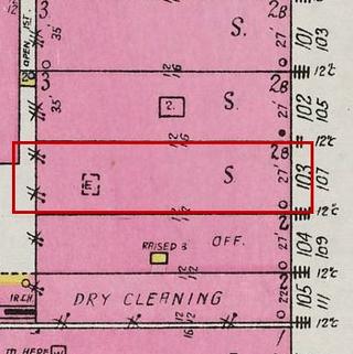
  1. 1887 Vacant (a two-story building) map label: Vac. (2-story building, no openings) Library of Congress, sheet 1
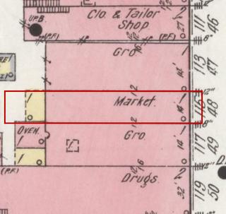
  2. 1914 Grocery map label: Gro. Library of Congress, sheet 9
  3. 1926 Store map label: S. UT Knoxville Libraries, sheet 5

Local history says: A large bakery stood on this side of the square. (Fayetteville Main Street, History; Library of Congress, sheet 9)

West side · Main Ave. S.

117 Main Ave. S.

Market on a lot empty in 1887

Today

From our directory, Oct. 21, 2026. Please check with a business before you go.

On the old maps (no. 115 in 1914)

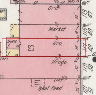
April 1914 Sanborn fire insurance map detail with the lot at today’s 117 Main Ave. S. outlined in red; the map labels it: market
Then: 1914 map
September 1926 Sanborn fire insurance map detail with the lot at today’s 117 Main Ave. S. outlined in red; the map labels it: store
1926 map

Maps: Sanborn Map Co., April 1914, sheet 9, Library of Congress (public domain); Sept. 1926, sheet 5, UT Knoxville Libraries (No Copyright – United States). Cropped; red outline added by Our Town Almanac.
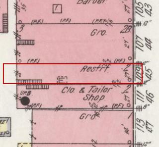
  1. 1887 No building drawn on this lot Library of Congress, sheet 1
  2. 1914 Market Library of Congress, sheet 9
  3. 1926 Store map label: S. UT Knoxville Libraries, sheet 5

West side · Main Ave. S.

119 Main Ave. S.

Grocery on a lot empty in 1887

Today

From our directory, Oct. 21, 2026. Please check with a business before you go.

On the old maps (no. 117 in 1914)

April 1914 Sanborn fire insurance map detail with the lot at today’s 119 Main Ave. S. outlined in red; the map labels it: grocery
Then: 1914 map
September 1926 Sanborn fire insurance map detail with the lot at today’s 119 Main Ave. S. outlined in red; the map labels it: store
1926 map

Maps: Sanborn Map Co., April 1914, sheet 9, Library of Congress (public domain); Sept. 1926, sheet 5, UT Knoxville Libraries (No Copyright – United States). Cropped; red outline added by Our Town Almanac.
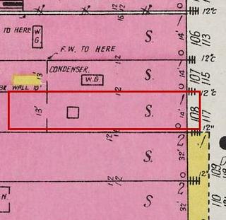
  1. 1887 No building drawn on this lot Library of Congress, sheet 1
  2. 1914 Grocery map label: Gro. Library of Congress, sheet 9
  3. 1926 Store map label: S. UT Knoxville Libraries, sheet 5

West side · Main Ave. S.

121 Main Ave. S.

A drugstore and a feed store in 1914

Today

No business is listed at this address in our directory. Know what’s here? Tell us.

One parcel today; on the maps it was two storefronts.

On the old maps: storefront 1 of 2, no. 119 on the 1914 map

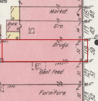
April 1914 Sanborn fire insurance map detail with the lot at today’s 121 Main Ave. S. (storefront 1 of 2) outlined in red; the map labels it: drugstore
Then: 1914 map
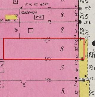
September 1926 Sanborn fire insurance map detail with the lot at today’s 121 Main Ave. S. (storefront 1 of 2) outlined in red; the map labels it: store
1926 map

Maps: Sanborn Map Co., April 1914, sheet 9, Library of Congress (public domain); Sept. 1926, sheet 5, UT Knoxville Libraries (No Copyright – United States). Cropped; red outline added by Our Town Almanac.
  1. 1887 No building drawn on this lot Library of Congress, sheet 1
  2. 1914 Drugstore map label: Drugs Library of Congress, sheet 9
  3. 1926 Store map label: S. UT Knoxville Libraries, sheet 5

On the old maps: storefront 2 of 2, no. 121 on the 1914 map

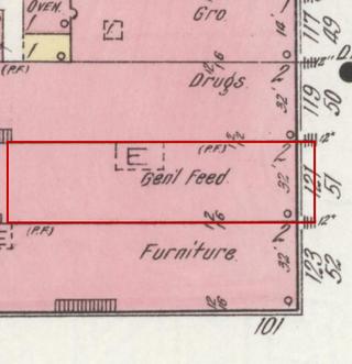
April 1914 Sanborn fire insurance map detail with the lot at today’s 121 Main Ave. S. (storefront 2 of 2) outlined in red; the map labels it: feed store
Then: 1914 map
September 1926 Sanborn fire insurance map detail with the lot at today’s 121 Main Ave. S. (storefront 2 of 2) outlined in red; the map labels it: store
1926 map

Maps: Sanborn Map Co., April 1914, sheet 9, Library of Congress (public domain); Sept. 1926, sheet 5, UT Knoxville Libraries (No Copyright – United States). Cropped; red outline added by Our Town Almanac.
  1. 1887 Vacant (one-story wood frame building) map label: Vac. (one-story frame building) Library of Congress, sheet 1
  2. 1914 Feed store map label: Gen'l Feed Library of Congress, sheet 9
  3. 1926 Store map label: S. UT Knoxville Libraries, sheet 5

West side · Main Ave. S.

125 Main Ave. S.

Corner building, a saloon in 1887

Today

From our directory, Oct. 21, 2026. Please check with a business before you go.

On the old maps (no. 123 in 1914)

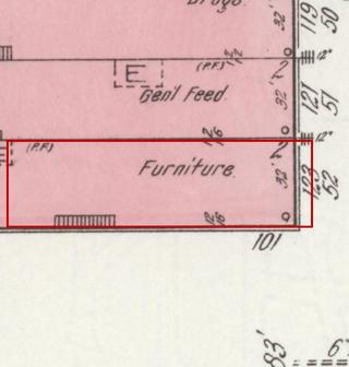
April 1914 Sanborn fire insurance map detail with the lot at today’s 125 Main Ave. S. outlined in red; the map labels it: furniture
Then: 1914 map
September 1926 Sanborn fire insurance map detail with the lot at today’s 125 Main Ave. S. outlined in red; the map labels it: store
1926 map

Maps: Sanborn Map Co., April 1914, sheet 9, Library of Congress (public domain); Sept. 1926, sheet 5, UT Knoxville Libraries (No Copyright – United States). Cropped; red outline added by Our Town Almanac.
  1. 1887 Saloon map label: Sal. Library of Congress, sheet 1
  2. 1914 Furniture Library of Congress, sheet 9
  3. 1926 Store map label: S. UT Knoxville Libraries, sheet 5

Local history says: The oldest building on the west side, the one the 1885 fires spared; it housed the Tip Top Saloon in the 1880s and ’90s. (Fayetteville Main Street, History; City of Fayetteville, Fayetteville Square)

Share this page: ourtownalmanac.com/tn/fayetteville/explore/square/west/

← Back to the square · Walking tour · Explore